6
Schöneben – Nová Pec
Let's head to Pec!
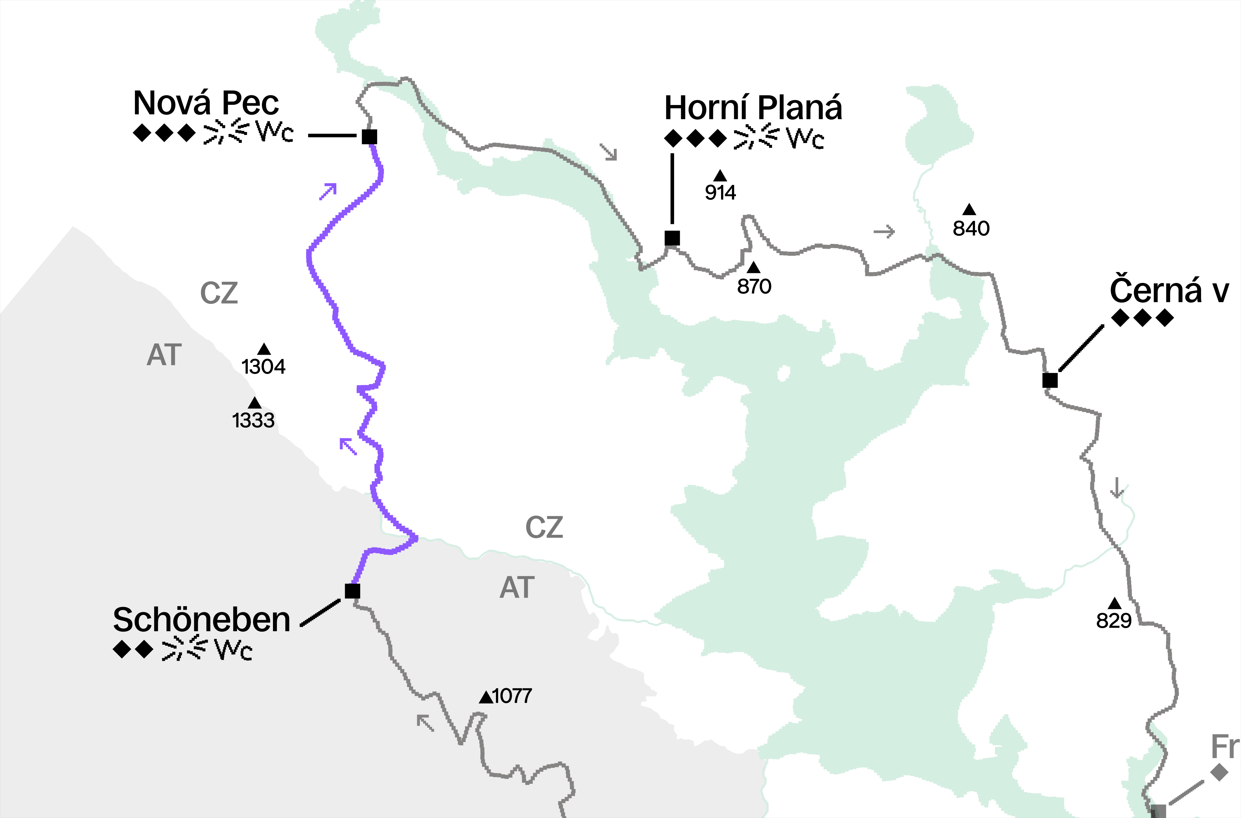
From the handover in Schöneben, you run along the road on the flat and downhill towards the border crossing back into Bohemia. On the 1st kilometer of this section, you will pass the beautiful so-called Böhmerwaldkirche on your right. It was built in 1960/61 from donations of expelled residents from nearby Zvonková, serving them as a replacement for the closed church in their original village. On the second kilometer, you turn left off the road and start climbing up a trail, now through the Šumava National Park - the largest national park in the Czech Republic, which stretches from here all the way to Železná Ruda.
You climb for 2 km up to 1041 m to the U Tokaniště crossroads and then continue along the green trail, where the path turns into a paved road. If you look to the right, the clearings will open up a view of almost the entire Lipno. Around the 6th km, the elevation profile begins to break and a 7km downhill run to Nová Pec awaits you. At the 9.5 km mark, you pass Klápa with the former border guard barracks and descend to Pec on asphalt along the so-called Želnava canal - an important waterwork that connects the Schwarzenberg Canal with the Vltava - this is where wood used to be floated, even for Prague's roof trusses.
Minor changes and race course improvements reserved.
Drives
We've got it figured out, click here to see
